


Planning an autumn adventure in a national park? FYI, the National Park Service celebrated its 100th birthday in August.
Zion, anyone?
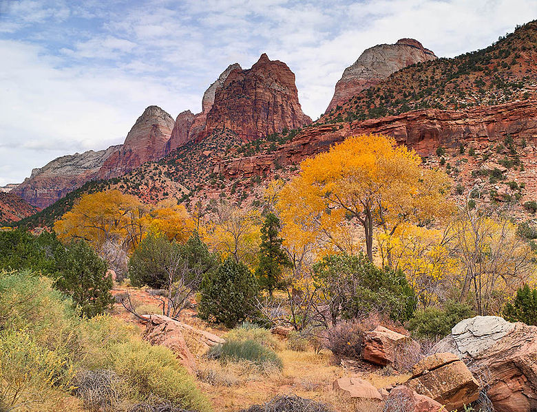
Photo by Doug Dolde via Wikimedia Commons
The Great Smoky Mountains?
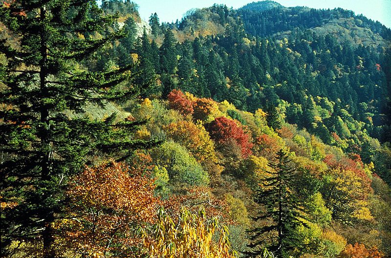
Photo courtesy of the National Park Service via Wikimedia Commons
Or, maybe somewhere in between?
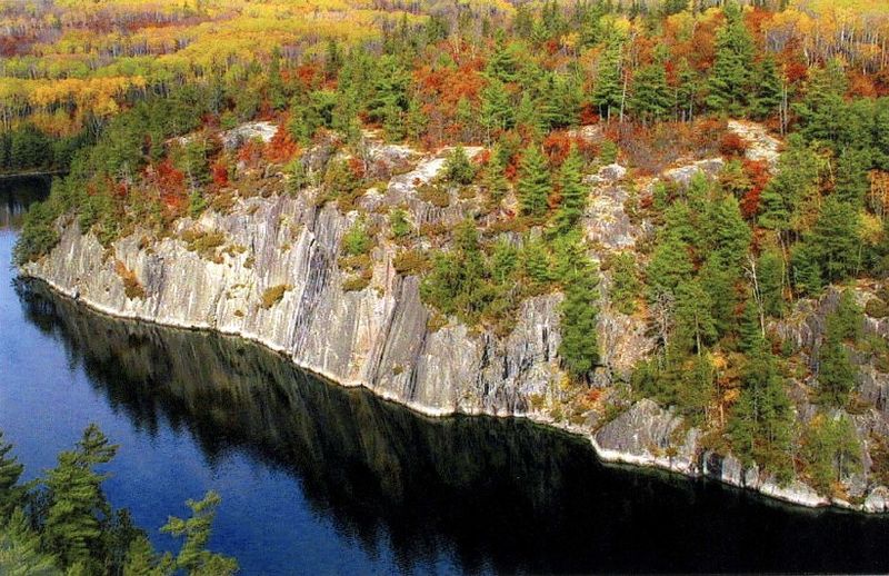
Photo by Ed Lombard, National Park Service, via Wikimedia Commons
(That’s a lovely view of Voyageurs National Park in Minnesota, in case you were wondering.)
But before you gear up to go, point your compass to a new website, National Park Maps, created by park ranger Matt Holly.
According to MNN.com, “Holly began uploading the maps onto a website as a side project to keep himself busy during the 2013 government shutdown … To date, Holly [a lifelong map lover] has uploaded more than 1,000 maps from 93 of the national park’s 411 units. For each site, he tries to include detail maps and specialty maps like trail maps, topographical maps, shuttle bus maps, campground maps and regional area maps.”
What a great resource. Start planning your excursion at NPmaps.com.


I’ve been to the Great Smokey Mts in the Fall and it is beautiful . All those colors amidst the Blue Ridge Mts. Is a sight to behold .
I love Zion National Park! It’s been about 5 years since we have been there. Looks like it’s time to plan another trip and use these maps as a good resource to find the perfect trails for us! I’m excited to share this information with my family.